Aerial surveys were initiated in July 2020 to collect offshore bird and marine mammal density data across the White Cross offshore windfarm site. These surveys, undertaken by aircraft flying across the site each month, were completed in September 2022.
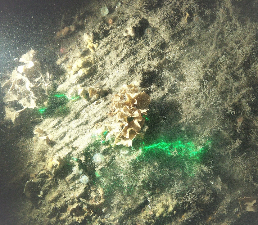
Mapping of the seabed via geophysical surveys has been undertaken and benthic ecology surveys have been completed for the wind farm area and offshore cable route. These will provide information about the seabed and help understand the structure of the habitats and species that are present in the areas.
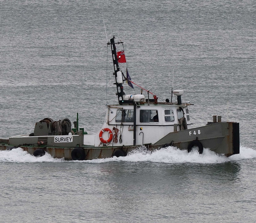
Further onshore and offshore environmental surveys have been undertaken to inform the project design and Environmental Impact Assessments processes. These include shipping activity, seabed habitats and ecology, terrestrial ecology, onshore ground conditions, land use and a host of other aspects of the environment in which the project is situated.
As the project design progresses, further geotechnical surveys will be required to provide greater details and a better understanding of the localised ground conditions to enable construction.